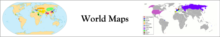
I like maps and Wikipedia: Maps of the World Showing History has some cool maps that I thought would be useful in the future to link my various timelines together.
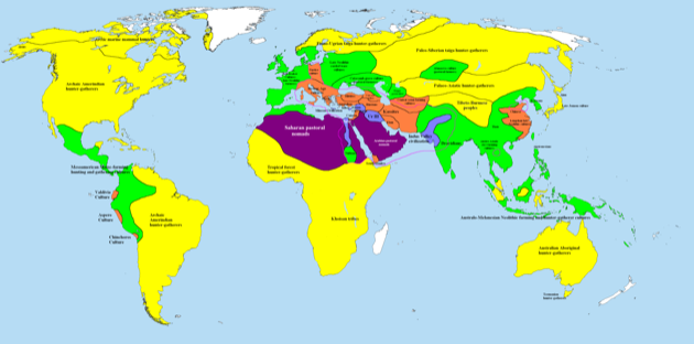
2000 BCE
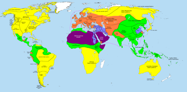
1000 BCE
500 BCE

400 BCE
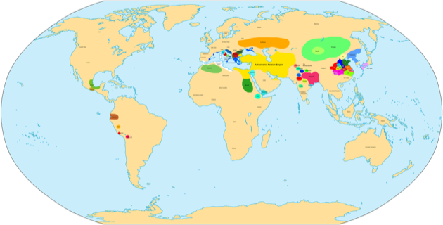
323 BCE

300 BCE

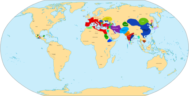
100 BCE

50 BCE

1 CE
50 CE

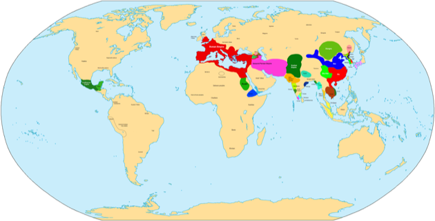
100 CE

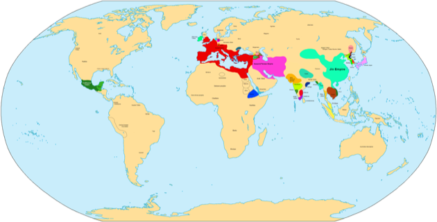
200 CE

250 CE
300 CE
400 CE

500 CE

700 CE
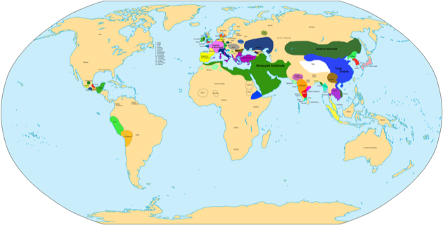
750 CE

900 CE

1492: Colonisation

15th – 16th Century: Demarcation Spain and Portugal

1550: Colonisation

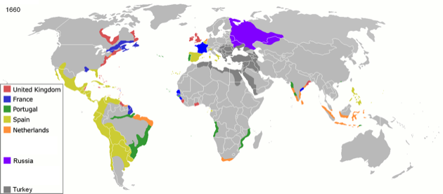
1660: Colonisation
1754: Colonisation

1800: Colonisation

1822: Colonisation

1855: Colonisation

1898: Imperialism: In the Scramble for Africa

1900 (approximately): Imperialism
The date is approximately 1900 but shows Italian North Africa post 1910 and Austro Hungry circa WW1.

1914: Imperialism

1920: Imperialism

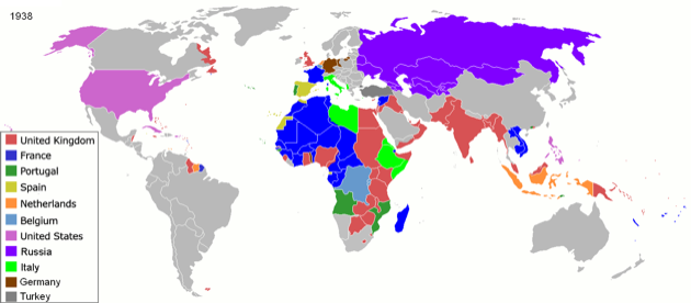
1938: Colonisation
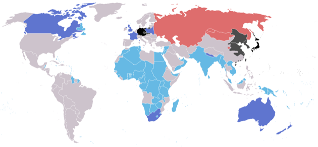
1939 September: Alliances at start of WW2
From Wikipedia: World War II 1939 09.png
?? TODO ?? resurrect the colour key
Western Allies (independent countries)
Western Allies (colonies or occupied)
Eastern Allies
Axis
(countries)
(countries)
neutral
1945: Colonisation End of WWII

1959: Colonisation

1974: Colonisation

2007: Colonisation

Errors: Republic of Ireland NO LONGER a colony of UK from 1940’s, therefore maps showing it to be so in 1959 and 1974 are incorrect.
Not only that but the first colonies in Alaska are Russian not American.
I don’t see the problem. This is correct on the maps, Alaska was originally settled by the Russians who then sold their claim to it to the USA. Bet they regret that now..
like the maps